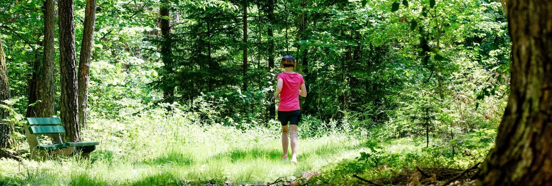
Jogging Driving game - sporty running (Fahrtenspiel - sportliches Laufen) - Touren-Impression #1 | © Erlebnisregion Thermen- & Vulkanland Jogging Driving game - sporty running (Fahrtenspiel - sportliches Laufen) - Touren-Impression #1 | © Erlebnisregion Thermen- & Vulkanland

Driving game - sporty running (Fahrtenspiel - sportliches Laufen)

Open
Driving game offers you the opportunity to train your running spryness. With the driving game you can strengthen your physical and mental abilities.
Running is a holistic sport that harmonizes body, mind and soul. Regular running prevents diseases of the cardiovascular system and weight problems.

On a distance of 8,700 m you have the opportunity to train your running sprint. Along the running track "sprint units" can be completed - markings from 300 m to 1,000 m are available. The route is also perfect for running loosely.

Tourist office Thermen- und Vulkanland
Guest information Bad Waltersdorf
Hauptplatz 90
8271 Bad Waltersdorf
Tel: +43 3382 55 100-71
badwaltersdorf@thermen-vulkanland.at
www.thermen-vulkanland.at


Author’s recommendation
  • GenussCard - One card. Three regions. Infinite pleasure!

Author
Infobüro Bad Waltersdorf

Safety guidelines
Emergency call mountain rescue: 140
ambulance: 144
European emergency call: 112
firefighters: 122
police: 133

Tips when reporting an emergency – Answer these six WH questions: What happened? How many people are injured? Where did the accident happen (are there GPS coordinates)? Who is reporting the incident (callback number)? When did the accident happen? What is the weather like at the site of the incident?


Directions
The route starts at the village cross in Wagerberg. Here you go straight on towards the forest, then turn right and from here you have to follow the gravelled forest path towards Unterlimbach. At the village hall turn right to the center of the village. At the crossroads turn left until you reach the entrance to the forest. Turn left again and go straight on. At 4,700 m turn left again and at 5,100 m turn right towards Oberlimbach. At the crossing in the center of the village turn right and walk along a slightly ascending road towards Wagerberg. Just before you reach Wagerberg turn left and continue to the starting point, the village cross. Or rather the village pond of Wagerberg.

1.straight ahead in the direction of the forest
2. turn right
3. along the forest path in the direction of Unterlimbach
4. at the village hall turn right to the center of the village
5. turn left at crossroads
6. continue to forest entrance
7. at forest entrance turn left, then straight ahead
8. at 4.700 m turn left
9. after 5.100 m turn right, direction Oberlimbach
10. turn right at crossroads
11. back towards Wagerberg
12.shortly before the beginning of the village turn left

Literature
A detailed movement map is available at the Bad Waltersdorf information office.

Characteristics

Skill
Fitness

Best season

January
February
November
December

The tour in numbers

medium
Level of difficulty
8,8 km
Route
1:30 h
Time
70 hm
Uphill
70 hm
Downhill
390 m
Highest point

Map & downloads

More information

Arrival by car from the direction of Vienna:

Freeway A2 direction Graz - you take the exit Sebersdorf/ Bad Waltersdorf

Arrival by car from the direction of Graz:

Freeway A2 direction Vienna - you take the exit "Sebersdorf/ Bad Waltersdorf

Arrival by train:

Austrian Federal Railways: TelNr. 0043 (0) 51717 or www.oebb.at

You can find detailed information about the journey here.

The route starts at the village cross in Wagerberg. Here you go straight on towards the forest, then turn right and from here you have to follow the gravelled forest path towards Unterlimbach. At the village hall turn right to the center of the village. At the crossroads turn left until you reach the entrance to the forest. Turn left again and go straight on. At 4,700 m turn left again and at 5,100 m turn right towards Oberlimbach. At the crossing in the center of the village turn right and walk along a slightly ascending road towards Wagerberg. Just before you reach Wagerberg turn left and continue to the starting point, the village cross. Or rather the village pond of Wagerberg.1.straight ahead in the direction of the forest2. turn right3. along the forest path in the direction of Unterlimbach4.at the village hall turn right to the center of the village5.turn left at crossroads6.continue to forest entrance7.at forest entrance turn left, then straight ahead8.at 4.700 m turn left9.after 5.100 m turn right, direction Oberlimbach10.turn right at crossroads11.back towards Wagerberg12.shortly before the beginning of the village turn left
-GenussCard - One card. Three regions. Infinite pleasure!

Detailed information about arriving by ÖBB (Austrian Federal Railways) can be found at  www.oebb.at or on the Verbundlinie Steiermark website  www.busbahnbim.at

With Verbundlinie’s BusBahnBim route planner app, planning your journey has never been easier: simply enter towns and/or addresses, stop names or points of interest to check all bus, train and tram connections in Austria. The app is available free of charge for smartphones – on Google Play and in the App Store

Parish parking Bad Waltersdorf (behind the church)

Spa park Bad Waltersdorf

Bründl alley

Train station Bad Waltersdorf

The Styria Tours app, which is available for free on Google Play and in the App Store (Android, iOS), offers detailed first-hand information: short facts (length, duration, difficulty, ascent and descent in altitude meters, ratings), map, route descriptions, altimeter, compass, summit finder, navigation along the tour. In addition, you can create your personal favorites list of favorite tours and points, save tours and destinations offline, play social media channels and more.


Tourist office Thermen- und Vulkanland

Guest information Bad WaltersdorfHauptplatz 908271 Bad WaltersdorfTel: +43 3382 55 100-71badwaltersdorf@thermen-vulkanland.atwww.thermen-vulkanland.at

A detailed movement map is available at the Bad Waltersdorf information office.

Gallery

What the weather will be like

Bad Waltersdorf (291m)

Morning
sunny
11°C
0%
0 km/h
Noon
sunny
24°C
0%
10 km/h
Night
sunny
20°C
0%
5 km/h
Dry and partly sunny throughout the day, with cloudy periods from time to time.
Morning
very sunny
12°C
0%
0 km/h
Noon
very sunny
24°C
0%
15 km/h
Night
very sunny
19°C
0%
10 km/h
Dry and sunny throughout the day with hardly any clouds.
01.05.2024
slightly cloudy
8°C 21°C
02.05.2024
cloudy
11°C 21°C
03.05.2024
foggy
10°C 19°C

Nearby accommodation options

Continue to search

You may also be interested in

Recommended tours

Accessible by public transport
Laufen in Bad Waltersdorf | Mias Photoart | © Erlebnisregion Thermen- & Vulkanland
Bad Waltersdorf medium Open
Route 6,2 km
Duration 1:00 h

Regeneration-fat burning round (Regenerations-Fettverbrennungs-Runde)

Accessible by public transport
Laufen und Rasten in Bad Waltersdorf | Mias Photoart | © Bad Waltersdorf
Bad Waltersdorf challenging Open
Route 8,6 km
Duration 1:30 h

Endurance-forest run (Ausdauer-Waldlauf)

Accessible by public transport
Laufen in Bad Waltersdorf | Mias Photoart | © Erlebnisregion Thermen- & Vulkanland
Bad Waltersdorf medium Open
Route 3,3 km
Duration 0:45 h

Cardiovascular system with running ABC (Herz-Kreislauf mit Lauf ABC)

Accessible by public transport
Holzbrücke im Thermenpark | J. Rath | © Kurkommission Bad Blumau
Bad Blumau medium Open
Route 5,9 km
Duration 0:55 h

Running track (Laufstrecke)