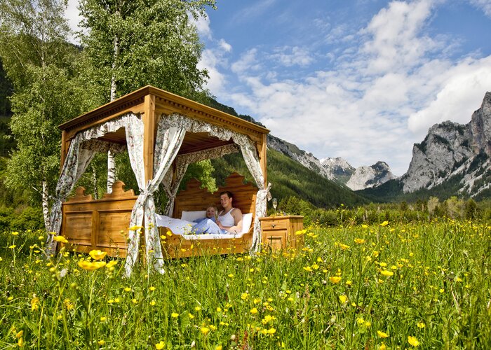
Hiking route Stone brook ditch path (Steinbachgrabenweg) - Touren-Impression #1 | © Kurkommission Bad Blumau Hiking route Stone brook ditch path (Steinbachgrabenweg) - Touren-Impression #1 | © Kurkommission Bad Blumau

Stone brook ditch path (Steinbachgrabenweg)

Open
A beautiful hike through Styrian forests and some villages of the spa community of Bad Blumau. Enjoy the forest shade and tranquility of nature. Get to know the country and its people.
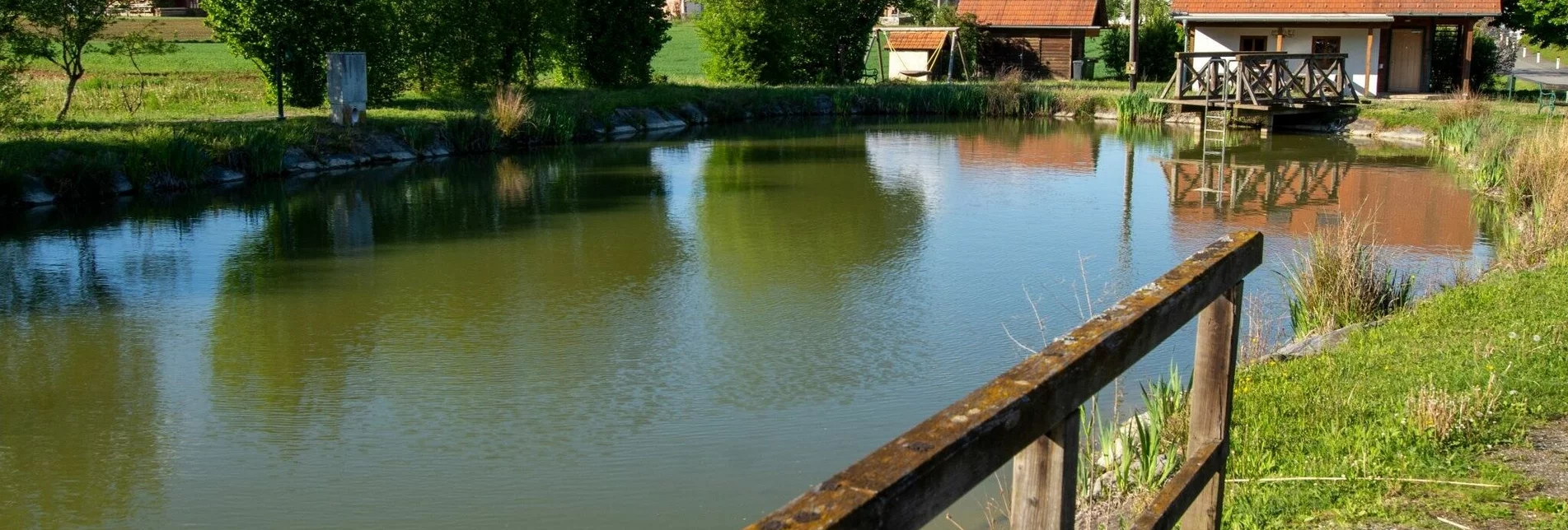
We start in the center of the small village Schwarzmannshofen and go west into the forest. We pass a stone of the geomantic path and then into the village of Loimeth. Here a detour to the 1000 year old oak tree is possible. At the pond in Loimeth you can also take a rest at the hut.  The trail continues leisurely to Lindegg. Many farmhouses line the way. Afterwards we return via gravel and forest paths in the direction of Schwarzmannshofen.

Additional information
Tourist Office Thermen- & Vulkanland
Gästeinformation Bad Blumau
Hauptstraße 113
8283 Bad Blumau
Österreich
Tel. +43 3382 55 100-83
badblumau@thermen-vulkanland.at
www.thermen-vulkanland.at

Author’s recommendation
Particularly quiet route through the forest.

Author
Sonja Brünner

Directions
We start directly at the wayside shrine in the middle of Schwarzmannshofen and go over a small bridge into the forest. a short piece it now rises. We pass a small settlement and follow the road into the village of Loimeth. At the crossroads turn right for a short distance and then left towards Jobst. Here we pass by the small pond in Loimeth. A picnic area under a linden tree invites you to rest. After the village of Loimeth we go to the end of the forest and here we turn right. Walk along the edge of the forest to Lindegg. After the chapel turn right. On gravel paths we go past ponds and along the edge of the forest. Walk through the forest for a while until you reach the fork to the right in the direction of Schwarzmannshofen. Follow this path until you reach the road and then turn right back into the village of Schwarzmannshofen until you reach the wayside shrine.

Map / Maps
Free leisure experience map at the info office or directly on this page for printing.


Literature
Information material available at the Info Office in the town center. No publication known directly to the tour.

Characteristics

Skill
Fitness

Best season

January
February
November
December

The tour in numbers

medium
Level of difficulty
11,3 km
Route
3:00 h
Time
153 hm
Uphill
153 hm
Downhill
355 m
Highest point

Map & downloads

More information

Detailed information on how to get there can be found here.

Wir starten direkt beim Bildstock in der Mitte von Schwarzmannshofen und gehen über eine kleine Brücke in den Wald. ein kurzes Stück steigt es nun an. Bei einer kleinen Siedlung kommen wir vorbei und folgen der Straße in den Ort Loimeth. Bei der Kreuzung ein kurzes Stück nach rechts und dann links Richtung Jobst abbiegen. Hier kommen wir beim kleinen Teich in Loimeth vorbei. Ein Picknickplatz unter einer Linde lädt zum Rasten ein. Nach der Ortschaft Loimeth gehen wir bis zum Waldende und hier biegen wir nach rechts ab. Am Waldrand entlang gehen wir bis Lindegg. Bei der Kreuzung halten wir uns links, hier kommen wir nach hundert Metern an einem Straußengehege vorbei. Nach der Kapelle biegen wir rechts ab. Auf Schotterwegen gehen wir an Teichen vorbei und am Waldrand entlang. Ein Stück durch den Wald bis wir zur Abzweigung nach rechts Richtung Schwarzmannshofen gelangen. Diesen Weg entlang bis zur Straße und dann rechts in die Ortschaft Schwarzmannshofen zurück bis zum Bildstock.

Besonders ruhige Strecke durch den Wald.

Timetables and travel information can be found directly at: Austrian Federal Railways (ÖBB), Steiermärkische Landesbahnen (STLB), www.busbahnbim.at.

With the BusBahnBim app from Verbundlinie, timetable information has never been easier: all bus, train and streetcar connections in Austria can be queried by entering locations and/or addresses, stops or important points. The app is available as a free app for smartphones (Android, iOS) - on Google Play and in the App Store.

By train or bus to Bad Blumau. The tour passes by the ÖBB stop. Bus stop directly in the town center about 100 m to the tour entrance.

The Thermenlandbus also takes you directly on the fastest way to Bad Blumau.

Tourismusverband Thermen- & VulkanlandGästeinformation Bad BlumauHauptstraße 1138283 Bad BlumauT: +43 3382 55 100-83badblumau@thermen-vulkanland.atwww.thermen-vulkanland.at

Kostenlose Freizeiterlebniskarte beim Info-Büro bzw. öffentlich im Ortszentrum aufgelegt.

Informationsmaterial im Info-Büro im Ortszentrum erhältlich. Keine Veröffentlichung direkt zur Tour bekannt.

Gallery

What the weather will be like

Bad Waltersdorf (291m)

Morning
sunny
13°C
40%
5 km/h
Noon
sunny
21°C
30%
15 km/h
Night
sunny
17°C
20%
10 km/h
Dry and partly sunny throughout the day, with cloudy periods from time to time.
Morning
foggy
12°C
75%
0 km/h
Noon
weather.icon.66
14°C
85%
5 km/h
Night
foggy
13°C
80%
5 km/h
Rain for most of the day, maximum intensities around noon.
04.05.2024
cloudy
9°C 21°C
05.05.2024
cloudy
9°C 21°C
06.05.2024
very sunny
8°C 21°C

Nearby accommodation options

Continue to search

You may also be interested in

Recommended tours

Accessible by public transport
Verweilen im Kurpark | Mias Photoart | © Erlebnisregion Thermen- & Vulkanland
Bad Waltersdorf easy Open
Route 3,8 km
Duration 1:00 h

Family trail (Familienwanderweg)

Accessible by public transport
Wasserstelle im Thermenpark Bad Blumau | J. Rath | © Kurkommission Bad Blumau
Bad Blumau easy Open
Route 14,0 km
Duration 3:25 h

FF8 Hundertwassertour

Accessible by public transport
Naturteich Großhart | Ingrid Jansky | © Erlebnisregion Thermen- & Vulkanland
Hartl medium Open
Route 9,5 km
Duration 3:00 h

Hofwald trail (Hofwald-Weg)

Accessible by public transport
smovey and go | Bernhard Bergmann | © Bad Waltersdorf
Bad Waltersdorf easy Open
Route 7,8 km
Duration 2:00 h

smoveyTOUR 3 - Herrschaftswald-Tour 7,8 km

Accessible by public transport
Naturvielfalt in Bad Waltersdorf | Infobüro Bad Waltersdorf | © Erlebnisregion Thermen- & Vulkanland
Bad Waltersdorf medium Open
Route 11,2 km
Duration 3:30 h

Hohenbrugg trail (Hohenbrugg-Weg)

Accessible by public transport
Wegweiser des S1 | Infobüro Bad Waltersdorf | © Erlebnisregion Thermen- & Vulkanland
Bad Waltersdorf medium Open
Route 10,6 km
Duration 3:30 h

Mountain and valley hiking trail (Berg- & Tal Rundwanderweg)

Accessible by public transport
Pärchen beim Rasten | Mias Photoart | © Erlebnisregion Thermen- & Vulkanland
Thermen- & Vulkanland medium Open
Route 8,7 km
Duration 2:30 h

Mountain trail (Berglerweg)