Hiking route For "cross-border commuters" (Für "Grenzgänger) / Trail 2 - Touren-Impression #1 | © Erlebnisregion Thermen- & Vulkanland Hiking route For "cross-border commuters" (Für "Grenzgänger) / Trail 2 - Touren-Impression #1 | © Erlebnisregion Thermen- & Vulkanland

For "cross-border commuters" (Für "Grenzgänger) / Trail 2

Open
Only 4.4 km long and yet you hike from Styria to Burgenland and back again. One is on the way in 3 municipalities and 2 different districts.  
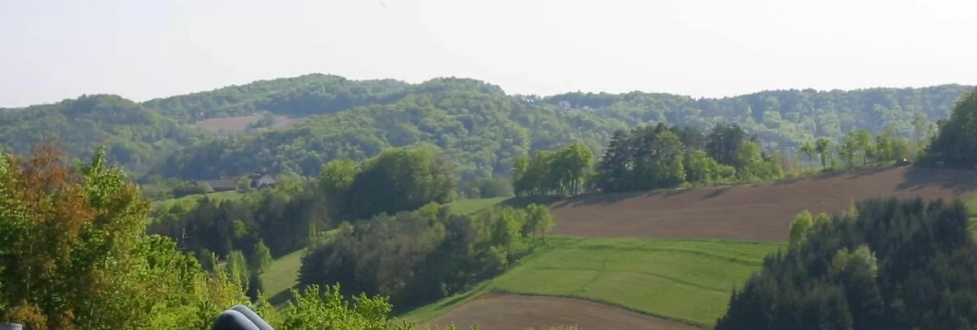
Pleasant, short hiking route - only the first 600 m asphalt, then only forest and meadow paths. Beautiful viewpoints - a short valley crossing, otherwise always ridge location. You certainly don't reach your own limits on this hike.      

Characteristics

Skill
Fitness

Best season

January
February
December

The tour in numbers

easy
Level of difficulty
4,4 km
Route
1:30 h
Time
135 hm
Uphill
135 hm
Downhill
372 m
Highest point

Map & downloads

More information

FROM VIENNA & LOWER AUSTRIA
By car: South freeway (A2) to exit Ilz/Fürstenfeld.  From here via Fürstenfeld bypass to Bad Loipersdorf.

FROM GRAZ
By car: on the A2 motorway in the direction of Vienna as far as the Ilz/Fürstenfeld exit.  From here via Fürstenfeld bypass to Bad Loipersdorf.

FROM WESTERN AUSTRIA AND BAVARIA
By car: via Salzburg on the Phyrn freeway (A9) and the Süd freeway (A2) or via Carinthia on the Süd freeway (A2) to the Ilz/Fürstenfeld exit.  From here via Fürstenfeld bypass to Bad Loipersdorf.

FROM ITALY OR SLOVENIA
By car: via Villach on the southern freeway (A2) to the Ilz - Fürstenfeld - Bad Loipersdorf exit or via Maribor on the Phyrn freeway (A9) and the southern freeway (A2) in the direction of Vienna to the Ilz/Fürstenfeld exit. From here via Fürstenfeld bypass to Bad Loipersdorf.

Detailed information on how to get there can be found here.

Start ist vor der Therme Richtung Thermenhotel Stoiser, dann weiter auf den Lautenberg (wie keltischer Baumkreisweg). Beim Thermenheurigen links der Straße entlang. Bei den Birkenbäumen rechts in den Feldweg zwischen die Weingärten abbiegen. Am Höhenkamm entlang durch ein Waldstück bis zur asphaltierten Straße - hier rechts bleiben (Baumkreisweg führt nach links). Dem Feldweg entlang weiter bis hinunter zum Buschenschank Forjan. Hier trifft man auf die Edelsgraben-Straße. Auf dieser Straße kurz links und nach 30 m (gleich nach Hauszufahrt Ferienwohnung Hammer) rechts in den Wiesenweg einbiegen. Den Hügel hinauf und oben dann rechts weiter. Nachdem man ein kurzes Waldstück durchquert hat, trifft man auf das Bad Loipersdorfer Laufparadies (grüne, gelbe u. blaue Beschilderung). Hier durchqueren wir - gegen die Laufrichtung - den Wald, immer am Weg bleibend. Vorbei am Laufparadies-Verteiler geht´s ident mit der Laufstrecke zurück zur Therme.           

Machen Sie eine Rast bei der begehbaren Weinflasche mit Weinglas am Lautenberg mit herrlicher Fernsicht.

Detailed information about arriving by ÖBB (Austrian Federal Railways) can be found at  www.oebb.at or on the Verbundlinie Steiermark website  www.busbahnbim.at

With Verbundlinie’s BusBahnBim route planner app, planning your journey has never been easier: simply enter towns and/or addresses, stop names or points of interest to check all bus, train and tram connections in Austria. The app is available free of charge for smartphones – on Google Play and in the App Store

Parking lots in front of the spa Loipersdorf resort

Tourismusverband Thermen- & VulkanlandGästeinfo Bad LoipersdorfThermenstraße 1528282 Bad LoipersdorfTel.: +43 3382 55 100-82badloipersdorf@thermen-vulkanland.atwww.thermen-vulkanland.at

Wanderkarten beim Gäste-Service-Center im Thermeneingangsbereich erhältlich oder bei:

Tourismusverband Thermen- & VulkanlandGästeinfo Bad LoipersdorfThermenstraße 1528282 Bad LoipersdorfTel.: +43 3382 55 100-82badloipersdorf@thermen-vulkanland.atwww.thermen-vulkanland.at

Gallery

What the weather will be like

Loipersdorf bei Fürstenfeld (246m)

Morning
sunny
14°C
25%
5 km/h
Noon
very sunny
21°C
15%
15 km/h
Night
sunny
17°C
15%
10 km/h
Rather sunny weather during the day with clouds mainly in the morning and towards the evening
Morning
cloudy
12°C
70%
0 km/h
Noon
foggy
15°C
85%
5 km/h
Night
weather.icon.66
13°C
80%
5 km/h
Mostly cloudy and rain, which will increase more and more.
04.05.2024
slightly cloudy
9°C 21°C
05.05.2024
sunny
9°C 21°C
06.05.2024
very sunny
9°C 21°C

Nearby accommodation options

Continue to search

You may also be interested in

Recommended tours

Accessible by public transport
Lagerfeuer am Hühnerbach | Barbara Wagner | © Erlebnisregion Thermen- & Vulkanland
Fürstenfeld easy Open
Route 13,5 km
Duration 3:19 h

Fürstenfelder Speltenbachweg

Accessible by public transport
Berghofer-Mühle | © © Berghofer-Mühle _Bernhard Bergmann
Fehring medium Open
Route 17,6 km
Duration 3:50 h

Running and walking route Fehring

Accessible by public transport
Blick auf das Hartbergschlössel | Jörg Liemandt | © Erlebnisregion Thermen- & Vulkanland
Thermen- & Vulkanland medium Open
Route 7,9 km
Duration 2:45 h

Floodplain & Shore Trail (Au & Uferweg) - Short Variant / Trail 8

Accessible by public transport
Besondere Vegetation im Augebiet | Johann Gollowitsch | © Erlebnisregion Thermen- & Vulkanland
Thermen- & Vulkanland medium Open
Route 19,8 km
Duration 5:00 h

Floodplain & shore trail - Long variant / Trail 8

Accessible by public transport
Baumkreisweg | Mag. Maria Rauchenberger | © Erlebnisregion Thermen- & Vulkanland
Bad Loipersdorf easy Open
Route 2,6 km
Duration 1:00 h

Tree circle path (Baumkreisweg)

Accessible by public transport
Bei Weingärten geht´s vorbei | Weges OG | © Weges OG
Thermen- & Vulkanland easy Open
Route 14,0 km
Duration 4:00 h

Experience path of the senses (Erlebensweg der Sinne)

Accessible by public transport
Blick vom Schloss Kapfenstein | Manfred Polansky | © (c) Steiermark Tourismus/Manfred Polansky
Fehring easy Open
Route 15,0 km
Duration 4:30 h

Stage 33 From Glacier to Wine North Route Fehring - Bad Gleichenberg